Община Руен
General information
| Organization | Община Руен |
|---|---|
| Area of interest |
|
| Are you interested in international projects? |
Yes
|
| Keywords |
|
| Country |
Bulgaria
|
| Type of cooperation |
Associated beneficiary
|
| Have you already participated in LIFE project? |
No
|
| Legal status |
Public body
|
| Description of organisation and experiences (in English) |
Ruen municipality is situated in south-eastern Bulgaria and occupies the southern slopes of the Eastern Stara Planina mountain. It is part of Burgas region and occupies its northwestern part on an area of 689.9 sq. km. Ruen municipality is located between 42º38'and 42º59' north latitude and 27º08' and 24º31' east longitude in Greenwich. The municipal center of Rouen is about 43 km away from the regional center of Burgas. To the east Ruen municipality borders with the Pomorie municipality, to the south with the municipality of Aytos, to the southwest with small parts of Karnobat municipality, to the west with Sungurlare municipality, and to the north with the municipalities Smyadovo, Dulgopol and parts of Dolni Chiflik
Physically and geographically, the territory of the municipality covers the southern slopes of the Eastern Balkan Mountains and partly the area of the off-Balkan valleys. The municipality is drained from the waters of the Luda Kamchia River and the Hadjiiska River. Forests and forest areas are situated on the slopes of Karnobat - the Aitos Mountain, Kotlensko - Varbishka and Eminsko - Kamchia Mountains.
The proximity of the Black Sea coast plays an important role in the development of Ruen municipality. Apart from attracting many tourists annually, it creates excellent conditions for developing international economic relations with the Black Sea cities, as well as prerequisites for attracting tourists from the Black Sea coast to the interior of the country.
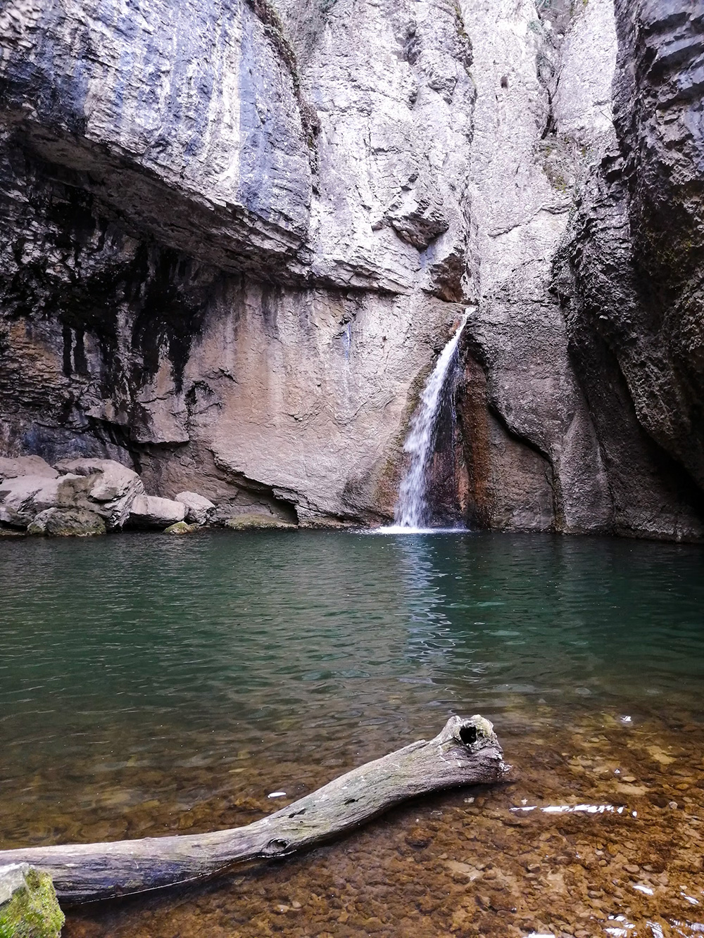
The water resources of the Ruen Municipality are formed by the waters of the Luda Kamchia and Hadzhiyska rivers, as well as 17 small dams and a pond of local significance. In the valley of Balaban der are part of the rock formations declared as natural landmarks in the region: "The Pork Head" The Professor, The Turtle, etc. The Ruen municipality is part of the European ecological network NATURA 2000.
Ruen municipality is interested in the EU's LIFE program, also in a partnership to work on projects related to the natural development of protected areas and improving the state of biodiversity, improving the infrastructure for accessibility of the citizens to natural landmarks, natural habitats along the Luda Kamchia River, raising public awareness of the importance of biodiversity and the benefits of ecosystems and others.
|
| Description of organisation and experiences (in Bulgarian) |
Община Руен е разположена в югоизточна България и заема южните склонове на Източна Стара Планина. Явява се част от област Бургас и заема северозападната й част върху площ от 689,9 кв. км. Община Руен се намира между 42º38´ и 42º59´ северна ширина и 27º08´ и 24º31´ източна дължина по Гринуич. Общинския център с. Руен отстои на около 43 км от областния център гр. Бургас. На изток община Руен граничи с община Поморие, на юг с община Айтос, на югозапад с малки части от община Карнобат, на запад с община Сунгурларе, и на север с общините Смядово, Дългопол и части от Долни Чифлик
Във физико-географско отношение територията на общината обхваща южните склонове на Източна Стара планина и от части района на задбалканските котловинни полета. Общината се отводнява от водите на р. Луда Камчия и р. Хаджийска. Горите и горските площи са разположени по склоновете на Карнобатско - Айтоската планина, Котленско – Върбишката и Еминско – Камчийската планина.
За развитието на община Руен важна роля играе близостта на Черноморското крайбрежие. Освен че привлича множество туристи ежегодно, то създава отлични предпоставки за развиване на международни икономически връзки с черноморските градове, както и предпоставки за привличане на туристи от Черноморието към вътрешността на страната.
Водните ресурси на община Руен се формират от водите на реките Луда Камчия и Хаджийска, както и 17 микроязовира и водоема с местно значение.По поречието на Балабан дере се намират част от скалните образования обявени за природни забележителности в района: „Свинската глава“, „Професора“, „Костенурката“ и др.Община Руен попада в част от европейската екологична мрежа НАТУРА 2000.
Община Руен се интересува от програма LIFE на ЕС, също и от партньорство за работа по проекти, свързани с естественото развитие на защитените територии и подобряване състоянието на биологичното разнообразие, подобряване на инфраструктурата за достъпност на гражданите до природните забележителности, проекти с грижи към условията в природните местообитания по протежението на река Луда Камчия, повишаване на общественото осъзнаване за значимостта на биологичното разнообразие и ползите, идващи от екосистемите и други.
|
| Project references |


